Drone Based Bathymetry Surveys – One Step Integrated Solution for Continental and Coastal Water Bodies

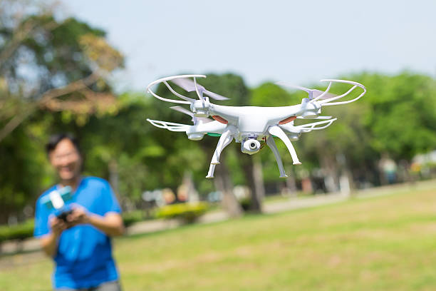
Drone Bathymetry is the best solution when traditional bathymetric surveys are hard to work on bodies like water. These provide an advantage of flight and provide surveyors with better data analysis to help map the land below the waterline.
Apart from surveying the ocean floor, Drone Bathymetry survey projects include rivers, streams, and lakes. A drone equipped with an echo sounder for mapping, measuring, and inspecting is a good bathymetric survey solution. These can also be used for open pits, mapping of sediments of oxidation, mapping water depths and sediments before dredging, and cleaning of various water bodies including ponds, lakes, rivers, canals, and many more.
Drone Bathymetryis one of the best methods for river and lake bottom profiling required for scientific investigations, and environmental monitoring, various underwater inspections required for engineering works such as a bridge or pipeline crossings, and other such projects.
Drone Bathymetry – A One-Step Solution
Bathymetry is a clear answer to many problems. While working in tough environments that are difficult to access and are dangerous for humans, Drone Bathymetrysurveys are the ideal solution. It helps in:
- Morphological studies of beds including sediment trust, and volume of water bodies.
- Helps to inspect and surveying of various water structures.
- Provides solutions to environmental monitoring through morphological monitoring of banks, erosion. Provide opportunities for studying flood risk prevention (FRP).
- It makes high or low water channel profiles.
Image-Based Drone Bathymetry Mapping
When compared to onshore aerial mapping, drone-based bathymetry mapping from aerial platforms is a less time-consuming process. Drones can work on almost all types of hydrographic surveys, with the help of diversified embedded sensors. The main advantages of drone bathymetric mapping are:
- No human contact with the water surface thus provides better safety.
- A drone provides quick launching from any type of bank. They are easy to transport and are easy to operate at hard-to-reach locations.
- Drone Bathymetric surveys map water depths and sediments and a faster speed and are more cost-efficient. These surveys are known for producing results 10 times faster and two times more cost-efficient than most of the conventional methods.
- Simple and high maneuverability operations make the survey an easy task.
- Automized operations make things simpler.
How is a Drone Bathymetry Survey Done?
While using drones for a bathymetric survey, the drones are equipped with an echo sounder known as Sonar. This system is used to measure the distance and time it takes for an acoustic signal made from the bottom of the sea.
The Sonar can be a single beam or multi-beam depending on the specific usage. The mono frequency echo sounder provides the depth for a given position. The bi-frequency echo sounder provides two depths, one of which is sedimentary deposits, and the other is the bottom of the water reservoir. A multi-beam echo sounder is equipped with a multi-frequency echo sounder that provides more precise results with water depths at different points.
Drone Bathymetry Surveys vs Traditional Surveys
When compared to traditional techniques, drones are supposed to be more efficient with accurate results and are faster, safer, and more reliable. Traditional techniques are time-consuming and demand lots of expenses as there is the need of making measurements from a ship in deep waters or a small vessel in shallow waters.
Drone Bathymetrysurveys don’t require the direct involvement of humans as traditional surveys might require. Thus, they are less risky and safer for human lives. Moreover, there are very few limitations while conducting Drone Bathymetrysurveys as they cover more ground in a short period with accurate results.
A Simple and Effective Solution
Drone Bathymetrybrings together the science and technology of depth measurements. It can be useful for many applications including navigation safety, environmental knowledge. Monitoring, management of different industrial sites like dams, quarries, water reservoirs, and other similar applications.
Bathymetric survey drones provide a solution where traditional survey methods are hard to implement. So, for most effective surveys use Drone Bathymetryas the proper solution.


